Friends of The Mad River
  • Home
  • Our Impact
    • Community Climate Chats >
      • Past Climate Chats
      • Climate Survey
    • Ridge To River >
      • Action Framework >
        • Programs
        • Research Needs
        • Resources
      • Planning Process >
        • Team
        • Landscape
        • Planning
        • Community
    • Storm Smart >
      • Storm Smart Assessment
      • Storm Smart Resources & FAQs
      • Green Stormwater Infrastructure & Best Management Practices
    • Tree Planting
    • Keeping Water Local
    • Mad River Watch >
      • Highlights from the Field
      • Volunteer Resources
      • Historical Data
    • Flood & Fish Friendly Roads
  • Get Involved
    • Events
    • Volunteer
    • Learn
    • Donate
    • Jobs
  • Who We Are
  • News
  • Contact Us
  • #madshedlove

Natural History

No one ever steps in the same river twice

for it's not the same river

​and they are not the same person

Heraclitus (almost)

Natural History of The Mad River Valley

The history of the Mad River Valley stretches back millions of years. There is a connection from the formation of the Green Mountains to the short lived spring ephemeral flowers that come up each year. The landscape is etched with stories and here are some resources to help you read them.

Geology of The Mad River Valley

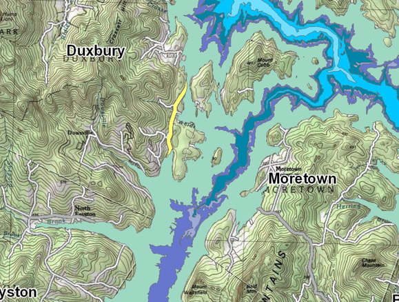
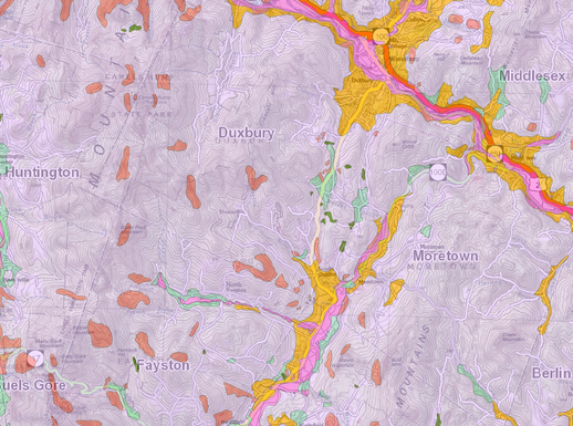
The steep slopes, rocky outcroppings, sandy oxbows, clay beds, wetlands, and streams of the Mad River Valley all take their cues from a deep and complex geological history. The Green Mountains to the West and the Northfield Range to east are the product of the Taconic Orogeny, some 450 million years ago, and have been shaped by the elements ever since. By the time humans arrived on the scene, much of the surficial geology had already been established - resulting in distinct natural communities adapted to flood prone valley bottoms and craggy bedrock outcroppings alike. The relatively recent glaciation, beginning 2 million years ago and ending just 13,000 years ago, played a major role in shaping the landscape we see today. As the glaciers retreated, lakes, streams, and deposits of sediment filled in behind them. 
Picture
Picture
Powered by Create your own unique website with customizable templates.
  • Home
  • Our Impact
    • Community Climate Chats >
      • Past Climate Chats
      • Climate Survey
    • Ridge To River >
      • Action Framework >
        • Programs
        • Research Needs
        • Resources
      • Planning Process >
        • Team
        • Landscape
        • Planning
        • Community
    • Storm Smart >
      • Storm Smart Assessment
      • Storm Smart Resources & FAQs
      • Green Stormwater Infrastructure & Best Management Practices
    • Tree Planting
    • Keeping Water Local
    • Mad River Watch >
      • Highlights from the Field
      • Volunteer Resources
      • Historical Data
    • Flood & Fish Friendly Roads
  • Get Involved
    • Events
    • Volunteer
    • Learn
    • Donate
    • Jobs
  • Who We Are
  • News
  • Contact Us
  • #madshedlove