Friends of The Mad River
  • Home
  • Our Impact
    • Community Climate Chats >
      • Past Climate Chats
      • Climate Survey
    • Ridge To River >
      • Action Framework >
        • Programs
        • Research Needs
        • Resources
      • Planning Process >
        • Team
        • Landscape
        • Planning
        • Community
    • Storm Smart >
      • Storm Smart Assessment
      • Storm Smart Resources & FAQs
      • Green Stormwater Infrastructure & Best Management Practices
    • Tree Planting
    • Keeping Water Local
    • Mad River Watch >
      • Highlights from the Field
      • Volunteer Resources
      • Historical Data
    • Flood & Fish Friendly Roads
  • Get Involved
    • Events
    • Volunteer
    • Learn
    • Donate
    • Jobs
  • Who We Are
  • News
  • Contact Us
  • #madshedlove

The Water Column

Water Temperature; A Measure of the Watershed’s Health

7/27/2021

 
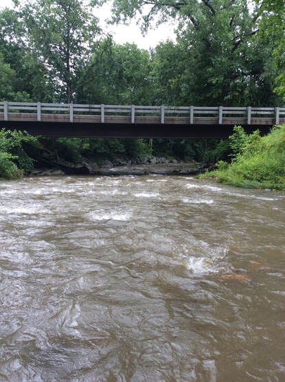
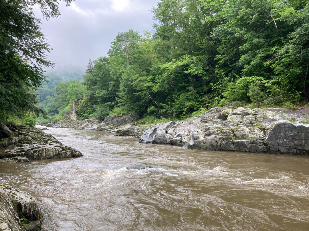
On July 25 and 26, Friends of the Mad River’s (FMR) Mad River Watch volunteers visited field sites across the valley in order to monitor water quality and make detailed environmental observations for their third field exploration this summer. This article is part of a series highlighting the questions and field work driving volunteers to find answers about the health of the Mad River watershed, as well as the community of supporters that make it possible.

Changing Water Temperatures
​

​As part of the reimagined Mad River Watch program, volunteers use a digital handheld probe to record water temperature at their field sites. By distributing field sites up and down the Mad River, as well as in many of the tributaries, differences in temperature provide a baseline for understanding impacts that local topography, land use, and climate change have on the health of the river. Over time, these temperature measurements can be matched with other data sets to provide a fuller picture of changes in the watershed.
 
According to the State of Vermont, in the last fifty years, average air temperature has risen at least 2°F and annual precipitation has increased 7 inches across Vermont. “Tracking temperature and geomorphic changes in our streams, rivers, and lakes is part of understanding climate change at a regional level and the way it may be influencing the plant and animal communities that live here,” explains Friends’ Director Corrie Miller. 
Picture
Hannah Yerks - High flow and turbid waters at Shepard Brook

Impacts on and from the landscape

Recent storms in the valley had severe impacts, washing out Butternut Hill Road in Waitsfield, among other smaller washouts, and disrupting driveways across the region. In addition to impacting the amount of sediment and pollutant loading in a given sub-watershed, variations in the amount and intensity of rainfall, as well as in the location where it lands, impact water temperature directly.
 
“Excess surface runoff in the form of stormwater is warmer when it reaches the stream than water that enters the soil and percolates into the waterways more slowly,” says Becky Tharp of Just Water Consulting. “That warmer surface runoff can heat up the rivers, causing changes to water chemistry and habitat suitability.”
 
Like increased sediment and pollutant loads, elevated water temperature can play a big role in limiting the success of aquatic organisms and govern which species can thrive. “The Mad River is home to a number of cold-water fish species including Brook, Rainbow, and Brown Trout. All of these species prefer cold temperatures, between 52°F and 57°F, with even cooler temperatures needed for spawning,” explains angler and Trout Unlimited board member Clark Amadon.
 
Land use and development, like the presence or lack of a riparian buffer, can also have a significant effect on how much sunlight hits the water. When streamside trees are cut down, there are fewer overhanging branches to provide shade, which leads to more sunlight hitting the stream and warming the water. “Riparian Buffers are important for a number of reasons,” explains Friends’ Stewardship Manager, Ira Shadis. “They provide stability to the bank, a filter to slow runoff and capture pollutants, a sponge to absorb flood water, shade for cold-water species like brook trout, habitat for birds and small mammals, and when strung together with larger blocks of forest, offer critical space for organisms to adjust to environmental stressors and the changing climate.”
 
The impact of different kinds of land use do not always show up directly in the temperature data Friends’ volunteers collect. By combining this data with volunteer’s other observations, targeted inquiries and outreach, and other land use analysis, Friends is able to prioritize projects that address the confluence of water quality, flood resilience, and biodiversity in the watershed.  
Picture
Ilyian Deskov - High flow and turbid waters near the mouth of the Mad River

Highlights from the Field

​Following the recent stormy weather, volunteers saw increased flow and turbidity at their sites. A volunteer at Folsom Brook noted that there was, “evidence of the water being really high at the sampling site. Grass was still bent over from the storm. Maybe 48” above the current water level.” Another volunteer noted the in-stream dynamics near Riverside Park, that the, “water level is high and up over the gravel beach. There is erosion on the upstream gravel island. Water is now flowing through the center of the island.”
 
A volunteer at Shepard Brook took careful notes on the way a nearby tributary and riparian buffer responded to the storm. They noted that, “There is a stream running from the culvert under the driveway that is typically dry. The stream is running through an area of thick vegetation, predominantly ferns, meadow rue, swamp milkweed, jewelweed and other natives on edge of the brook, and bishops weed amongst pine trees closer to the nearby driveway.”
 
This week saw 13 teams of volunteers visit 21 field sites. Water temperatures ranged from a low of 59.2°F at Riverside Park in Warren on Sunday to a high of 64.92°F at the USGS gage in Moretown on Monday. Over the summer, FMR will compile data and observations and share key findings and highlights in the Valley Reporter and online at friendsofthemadriver.org/madriverwatch.

July 11 & 12 Mad River watch Field Report

7/13/2021


Conductivity in a Changing Climate

Friends of the Mad River is incorporating conductivity measurements into their reimagined Mad River Watch program as part of a broader effort to understand the impacts of climate change in the watershed.

Over the last year, Friends staff and board have worked closely with a water quality scientist, Becky Tharp of Just Water Consulting, to ground the new program in sound scientific methods.

“Conductivity is a measure of the ability of water to pass an electrical current through it,” says Tharp. “The leading cause of increasing conductivity in freshwater ecosystems in Vermont is runoff from de-icing salts used on roads for winter maintenance (usually sodium chloride, NaCl).”

Increases in freeze-thaw cycles are associated with a changing climate and lead to more salt usage over the winter season. More extreme weather also means longer periods of drought during the summer, which can lead to dry and dusty dirt roads. “Calcium chloride (CaCl) salts are also used on Vermont roads in spring and summer to control dust. When the salt dissolves and is carried off of the roadway, it can enter streams and lakes, making the fresh water salty and increasing the conductivity,” explains Tharp.

On January 14th, Kris Stepenuck, Extension Associate Professor at UVM, joined the Ridge to River taskforce for a conversation and presentation on road salt. Stepenuck summarized the environmental, economic, and social challenges, as well as the many uses for salt that keep our roads, parking lots, driveways and sidewalks safe during winter months. She also described best management practices that can be used to minimize the use of salt. A recording of this presentation can be found on Friends’ website - Winter & Road Salt: A Ridge to River Investigation .
​
“Road salt fits into conversations this group has been having for a while,” says Friends Director, Corrie Miller, “about the challenges local road crews and budget decision-makers face, the pros and cons of best management practices, and the value of better understanding impacts on the Mad River.” 

Tracking Salt in the Watershed

“A high conductivity level is not necessarily bad,” says Tharp. “Many things can influence a waterbody’s conductivity, including natural conditions like bedrock material. In most cases, conductivity in a waterbody will be consistent over time unless there is some change in the watershed.”
​
While they can be naturally occurring, excess salts from road runoff can negatively impact wildlife and freshwater ecosystems. High conductivity correlates well with salt concentration and, where conductivity or other pollutant measurements are high, Friends plans to follow up with further investigation to try and determine the source.
​
Volunteers use a digital probe to record highly accurate measurements of conductivity in the field. “Having these readings along the length of the Mad River will help us learn what the common conductivity levels are in the river,” Miller. “This will allow us to track change over time and space - so we can stop pollutant sources before they cause further damage.” 
​
Once Friends has established some baseline data, volunteers will respond to high conductivity levels in the field by taking more readings upstream of the initial sampling site and, as needed, by taking a grab sample to be measured in a lab that will show exactly what’s causing the high readings. 

Highlights from the Field

Mad River Watch volunteers closely observe their field sites and sample water quality parameters like temperature, nitrate/nitrite, phosphate and conductivity in the field. This week saw 14 teams of volunteers visit 21 field sites.

The recent rain led to high water levels in the tributaries and the mainstem. Rainy weather can be a great time to observe the value of riparian buffers for reducing erosion. One volunteer noted that at the Ward Access, “the area we typical stand to take measurements is now shallow water. The river seemed to be running faster. No major erosion on southeast bank and lots of vegetation to hold the bank in place, although it looks like more soil was exposed just above water height.”

Another volunteer reminds us that a single tree is not enough for a stable riparian buffer. At Mill Brook, “I’m about 10-20 yards downstream from where I’ve been testing, because a large portion of tree has come down in the place I’ve been testing.”
​
Over the summer, FMR will compile data and observations and share key findings and highlights in the Valley Reporter and online at friendsofthemadriver.org/madriverwatch.

June 27 and 28 Mad River Watch Field REport

7/2/2021


A Community Effort for Clean Water

​On June 27th and 28th, Friends of the Mad River’s (FMR) Mad River Watch volunteers visited field sites across the Valley in order to monitor water quality and make detailed environmental observations for their second field exploration this summer. This article is part of a series highlighting the questions and field work driving volunteers to find answers about the health of the Mad River watershed, as well as the community of supporters that make it possible.
 
“Mad River Watch, like most of Friends’ work, is a community effort,” says FMR Director, Corrie Miller. “More than 30 years of volunteer work, partnerships with landowners, and deeply-held commitment from donors have shaped the program as it exists today. This year, we’re excited to see returning volunteers as well as more than a dozen new ones, and to celebrate the sponsorship by Lawson’s Finest.”
 
Lawson’s Finest Liquid’s charitable giving, along with other aspects of the business, supports the values of excellence, authenticity, fun, community, and innovation. “At Lawson’s Finest, we love to help support thriving communities where people take good care of each other, protect and enjoy the natural world, and bring more fun to life,” said Karen Lawson. “We are so happy to support the Mad River Watch 2.0 efforts through our Social Impact Program to ensure the pristine nature of our beloved waterway.”

Lawson’s Finest – Green is Grand

​Lawson’s Green is Grand initiative focuses on a commitment to joining innovation, efficiency, and taking steps to “green-up” the beer production process and minimize impact in a resource-intensive manufacturing business. “In the brewery itself, our efforts have led Lawson’s Finest to use water as efficiently as possible”, said Lawson. “We’ve exceeded industry benchmarks for gallons of water required for each batch of beer.”
 
Lawson’s Finest constructed a state-of-the-art wastewater treatment facility and implemented extensive side-streaming efforts to remove solids and organic loads from their wastewater stream. “Our side-streamed high-strength waste is then pumped and trucked to an anaerobic digester facility that turns the organic solids into electrical energy,” explained Lawson.
 
The remaining wastewater passes through an on-site aerated biological treatment system that breaks down the remaining organic loads and the treated effluent discharge water is lower in strength than a standard household septic system. Lawson’s Finest Liquids received a 2020 Special Project Merit Award from the American Council of Engineering Companies of Vermont for their Wastewater Pre-Treatment system. 
 
“We see supporting Mad River Watch as being in alignment with our efforts to green up our production process,” says Lawson. “Not to mention the fact that great beer needs great water in the first place!”

Mad River Watch – Highlights from the Field

​Mad River Watch volunteers closely observe their field sites and sample water quality parameters like temperature, nitrate/nitrite, phosphate, and conductivity in the field. This week saw fifteen teams of volunteers visit seventeen field sites.
 
While we typically expect a rain to deliver pollutants from the land into the water, a rainy Saturday seemed to be absorbed by the dry landscape with little observed impact showing in the water. A pair of volunteers visiting the Ward Access swimming hole this Sunday noted that the, “recent short duration heavy rains do not seem to have caused substantial fluvial changes. The water is as clear as before.” Another pair of volunteers visiting the Riverside Park on Sunday saw similar conditions of clear water and low flow, in spite of the recent rain. Some elevated phosphate levels were noted across the watershed and Friends’ staff and volunteers are considering them as they calibrate their testing methods and establish baseline information for the new water quality parameters
 
Volunteers recorded signs and direct observations of wildlife such as water pennies, Cabbage and White Admiral butterflies, minnows, snails, bear scat, frogs, a curious groundhog, and many birds. One volunteer, visiting Shepard Brook this Sunday, noted that, “Meadow rue is blooming as well as purple flowered raspberry. The western bank is covered in virginia creeper, grape and clematis vines.” At Riverside Park this Monday, another volunteer observed, “clover, buttercup, daisies, and white campion.”
 
Over the summer, FMR will compile data and observations and share key findings and highlights in the Valley Reporter and online at friendsofthemadriver.org/madriverwatch.

    Friends

    of the Mad River

    Archives

    January 2023
    December 2022
    September 2022
    April 2022
    February 2022
    January 2022
    November 2021
    August 2021
    July 2021
    June 2021
    May 2021
    April 2021
    March 2021
    February 2021
    January 2021
    December 2020
    November 2020
    October 2020
    September 2020
    August 2020
    July 2020
    June 2020
    May 2020
    April 2020
    March 2020
    February 2020

    Categories

    All

    RSS Feed

Proudly powered by Weebly
  • Home
  • Our Impact
    • Community Climate Chats >
      • Past Climate Chats
      • Climate Survey
    • Ridge To River >
      • Action Framework >
        • Programs
        • Research Needs
        • Resources
      • Planning Process >
        • Team
        • Landscape
        • Planning
        • Community
    • Storm Smart >
      • Storm Smart Assessment
      • Storm Smart Resources & FAQs
      • Green Stormwater Infrastructure & Best Management Practices
    • Tree Planting
    • Keeping Water Local
    • Mad River Watch >
      • Highlights from the Field
      • Volunteer Resources
      • Historical Data
    • Flood & Fish Friendly Roads
  • Get Involved
    • Events
    • Volunteer
    • Learn
    • Donate
    • Jobs
  • Who We Are
  • News
  • Contact Us
  • #madshedlove